Suriname
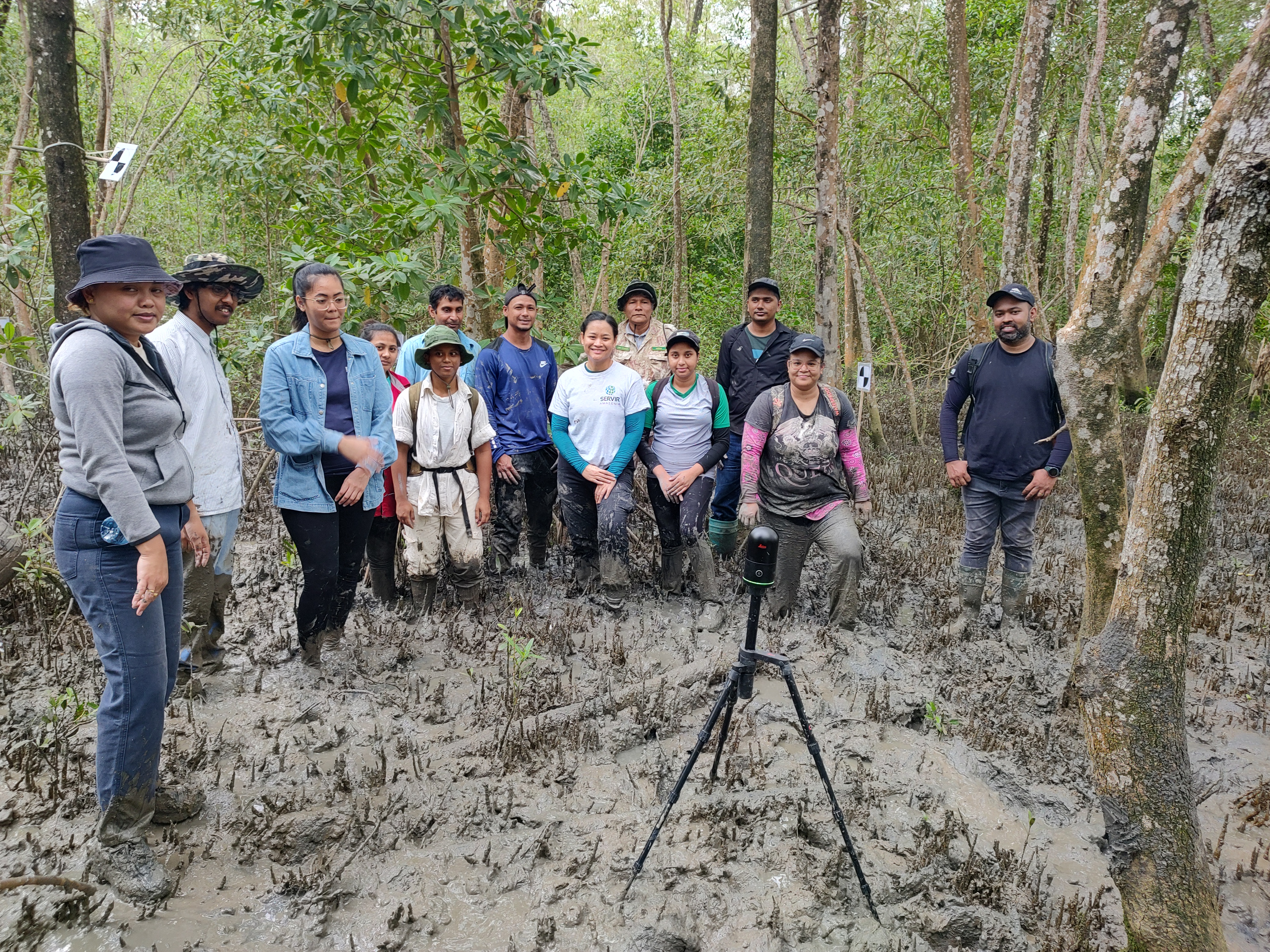
The Suriname team is processing TLS data collected on mainly Rhizophora, using the Riegl scanner, which is more expensive but does not require setup of targets and automatically combines images. Wood cores are also being collected. This is a grand collaboration between University of Ghent, SBB and CELOS which has achieved great synergy. LiDAR mapping is also being conducted in the BigiPan area.
Monitoring Data and Statistics
The interactive dashboard presents up-to-date information on mangrove conditions, carbon capture capacity, and MRV progress in Suriname. The data supports trend analysis, regional comparisons, and key indicators for sustainable ecosystem management.
Interactive dashboard available
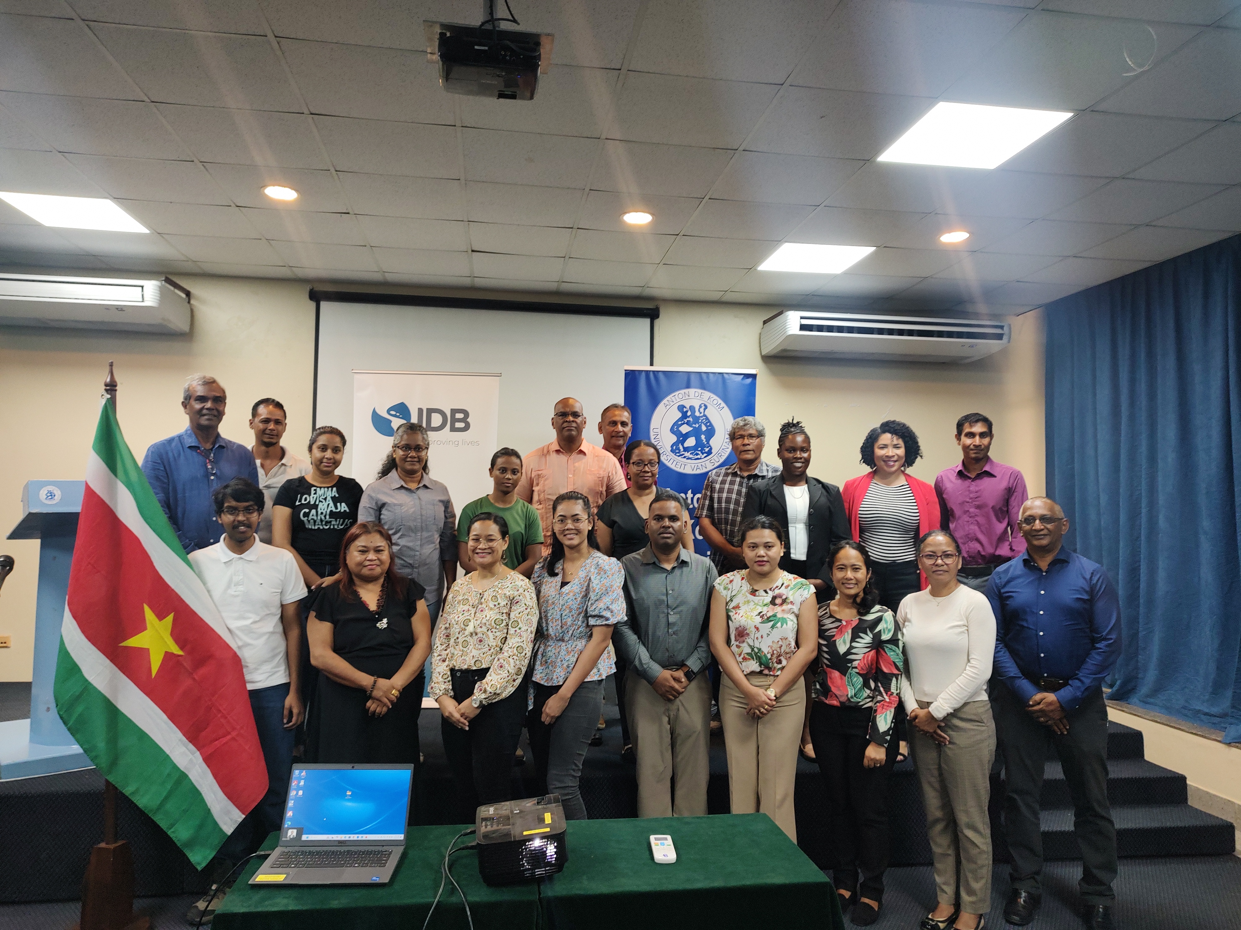
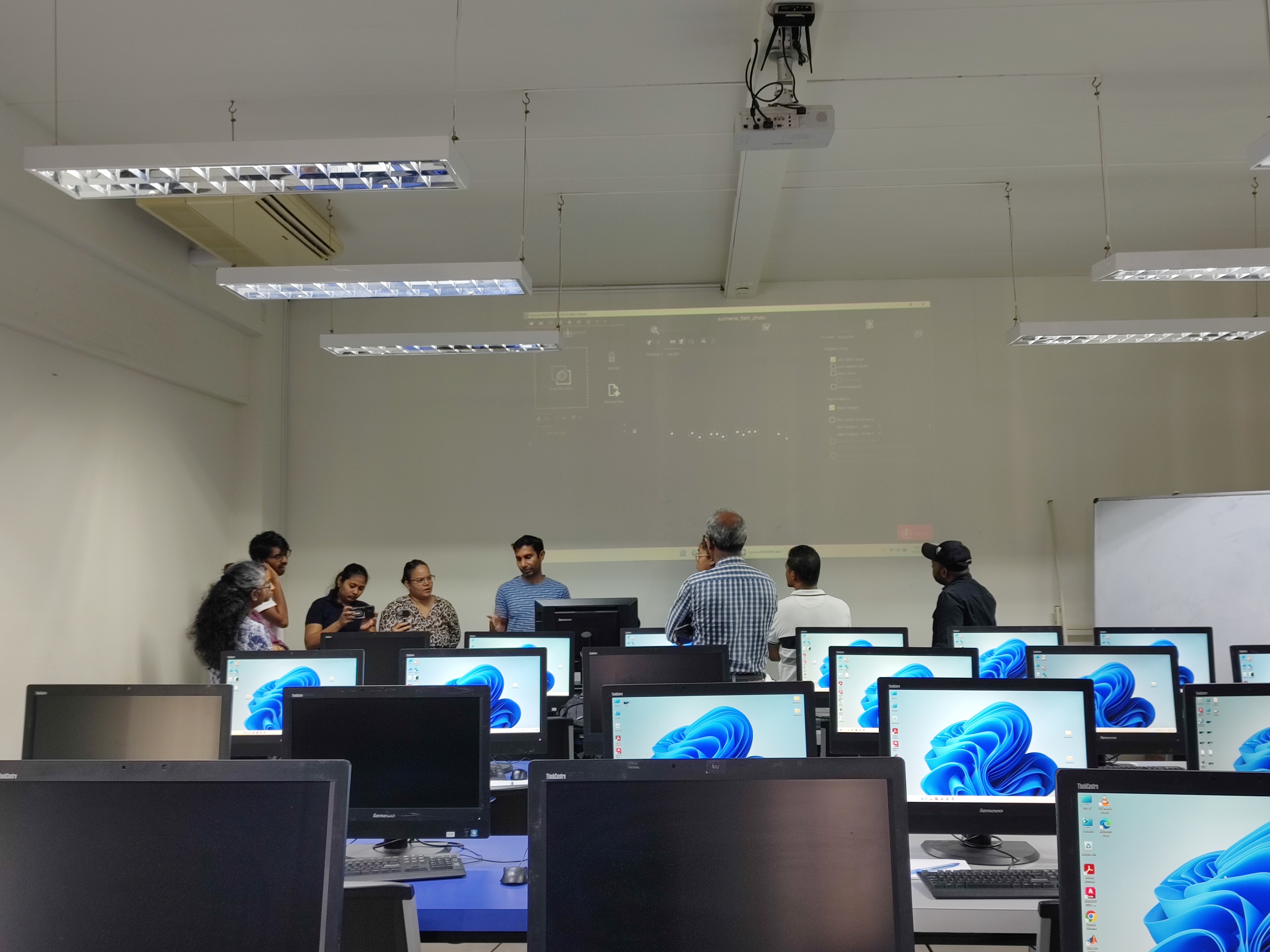
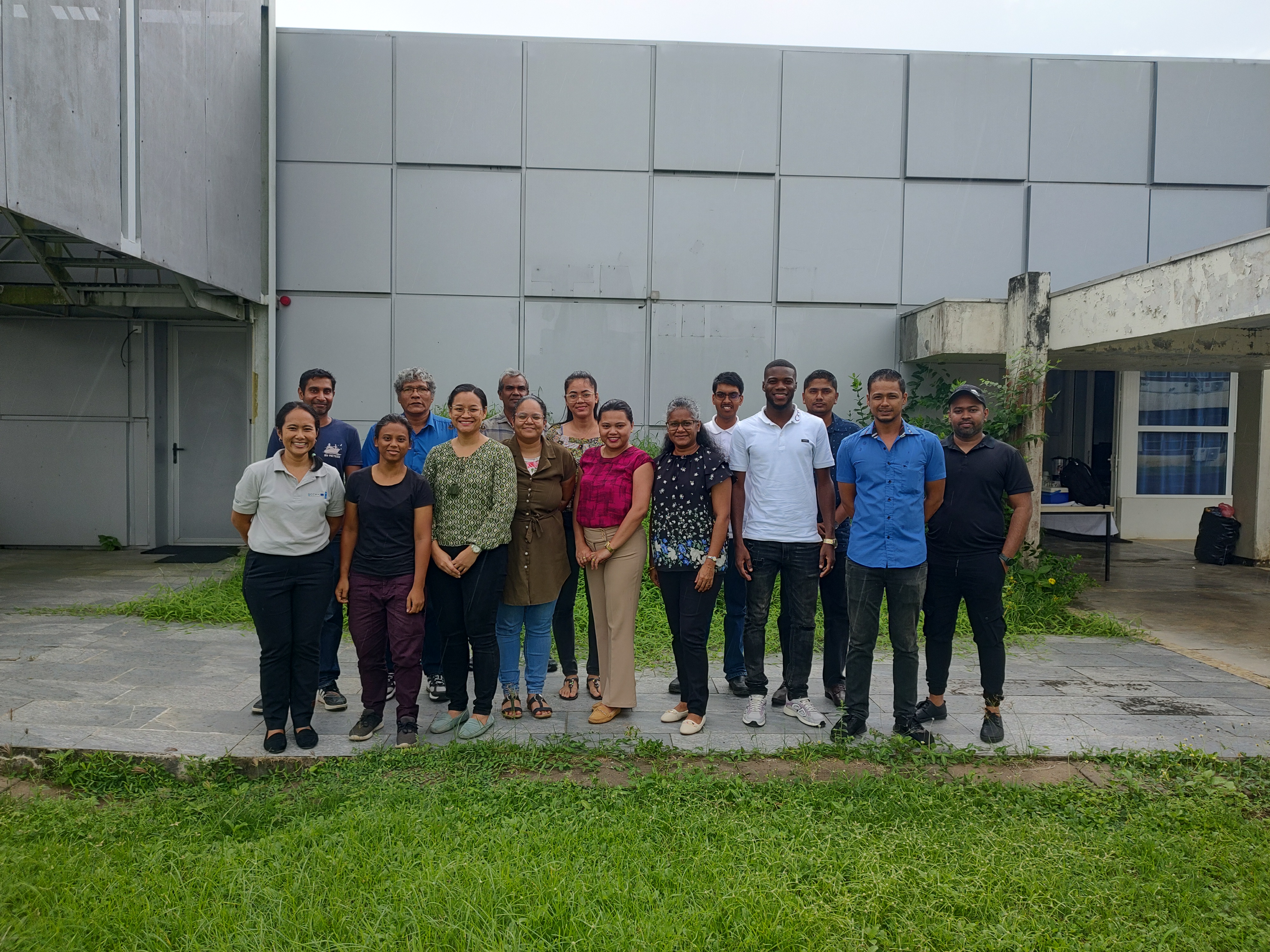
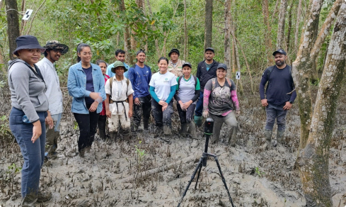
Photo Gallery
Explore photos and videos documenting mangrove conservation, monitoring, and restoration efforts across some countries. Each visual resource provides an inside look at fieldwork, local biodiversity, and community engagement.