Panama
The Panama team was the first to be trained in the TLS methodology using the BLK 360 G2 laser scanner. This scanner uses targets to combine images. Over sixty sets of point clouds collected in Panama Bay and Parita Bay on mainly Rhizophora are being cleaned. Wood cores are also being collected. Methane measurement knowledge transfer to the other beneficiary countries is also in progress. LiDAR mapping is also being conducted in the Panama Bay area.
Monitoring Data and Statistics
The interactive dashboard presents up-to-date information on mangrove conditions, carbon capture capacity, and MRV progress in Panama. The data supports trend analysis, regional comparisons, and key indicators for sustainable ecosystem management.
Interactive dashboard available
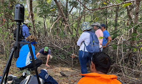
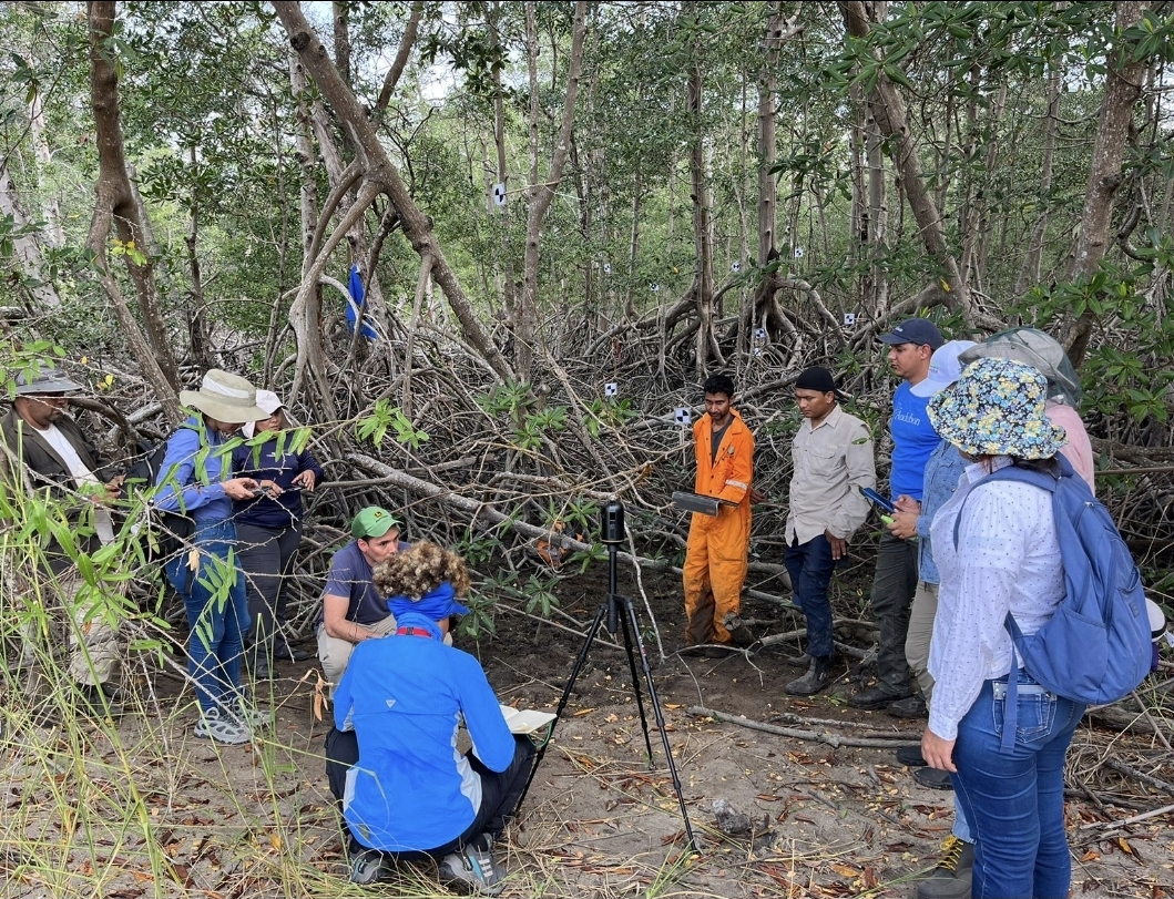
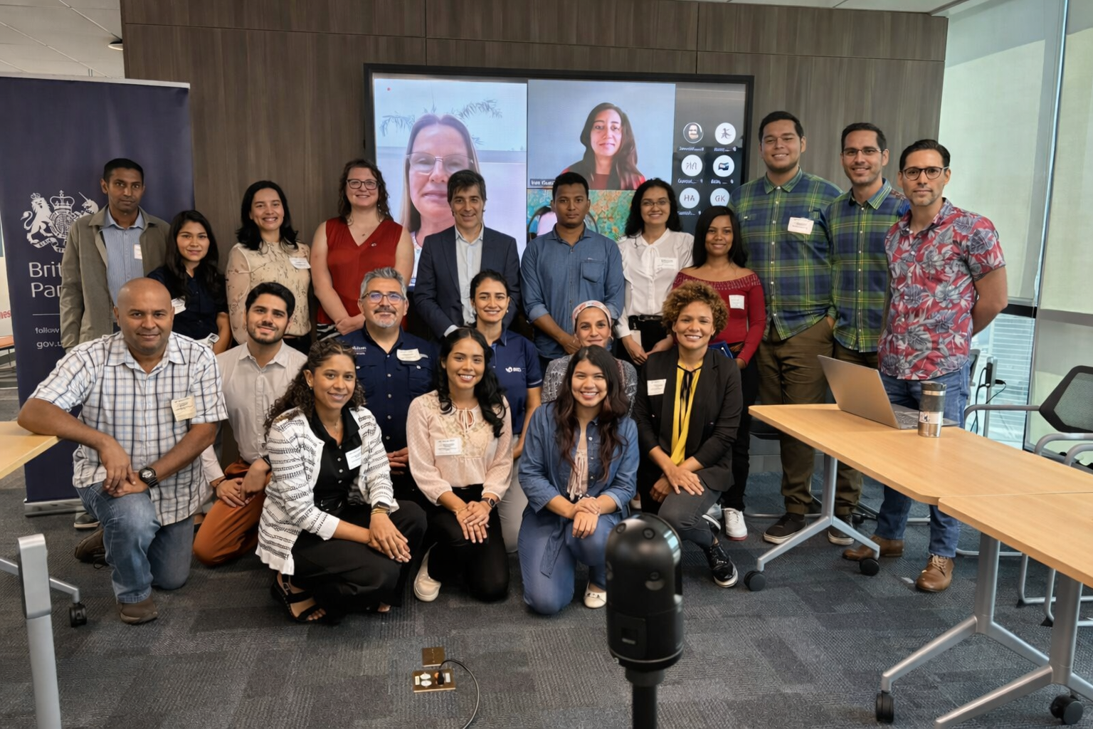
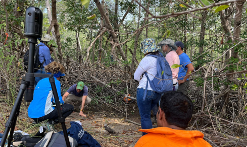
Photo Gallery
Explore photos and videos documenting mangrove conservation, monitoring, and restoration efforts across some countries. Each visual resource provides an inside look at fieldwork, local biodiversity, and community engagement.