MangroBits
Geospatial Information Systems to Foster the Restoration and Reforestation of Mangroves in the Caribbean
Objective:
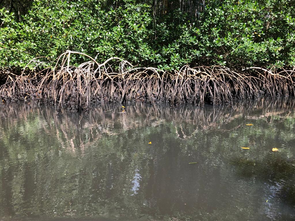
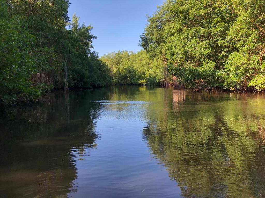
MangroBits consists of Caribbean-wide maps of mangrove structure, function, and change using innovative remote sensing datasets and algorithms. It allows monitoring and measuring changes in the coastal transition zones where there can be a large carbon exchange as terrestrial forests transition to marine ecosystems. The interactive web-based tool suite supports coastal and climate resilience on Caribbean islands by analyzing the map's vulnerability data.
Methodology
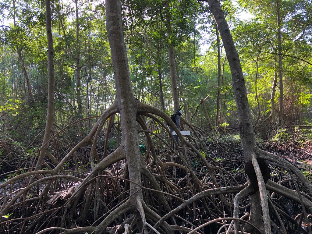
The extent, canopy structure, biomass, and projected vulnerability of mangrove forests were mapped across the study domain. The combination of forest type, extent, height, and change maps were used to evaluate forest health and the sustainable use of forests over time. Next, the change detection method was applied to map mangrove loss and gains across the Caribbean from 2000 to 2020. The approach involves a rigorous cloud and shadow masking procedure that harmonizes three Landsat satellite sensors, 5TM, 7ETM+, and 8OLI, to produce both extent and change maps. To identify changes in ecosystem extent and health, observed differences in the Normalized Difference Vegetation Index (NDVI) over time (since 2020) were used. In addition, the damage to the mangrove forests was assessed following tropical storm landings to identify vulnerability. Finally, the amount of carbon stored in the aboveground biomass was estimated.
MangroBits web platform
All data products are visually accessible and interactive on the MangroBits web platform (External link).
Each of the data layers can be turned on and off in the top right of the web app. A quick select button is also included for ease of use. Additional helpful layers are also provided for auxiliary information for interpretation and decision-making.